 ZIP Code 95220, Acampo, CA
Detailed information and location map for the United States zip code 95220 situated in Acampo, San Joaquin County, California, United States.
The United States zip code 95220 is located in Acampo, San Joaquin County, California, United States. Relevant ISO codes include "US" and "USA", and the ISO state code for California is "CA". Additionally, the FIPS code for this region is identified as 6077. Please refer to the table below for geographical details of the ZIP code and the current time at the specified location. Additionally, the location map provides a visual representation of the San Joaquin ZIP Code 95220's location. This comprehensive presentation combines basic management information with dynamic elements such as a live clock and location map, giving you a comprehensive understanding of the San Joaquin ZIP Code 95220 and its geography.
95220 ZIP code Details
| ZIP Code | 95220 |
| City | Acampo |
| County | San Joaquin |
| State | California |
| State Code | CA |
| Country | United States |
| Country Codes | US / USA |
| FIPS code | 6077 |
| Time now |
95220 ZIP Code Location
Helpful Resources:

list of ZIP Codes in California, United States
Explore list of all ZIP codes in California, United States or Retrieve California ZIP codes instantly using interactive map with address lookup tool.
Global postal codes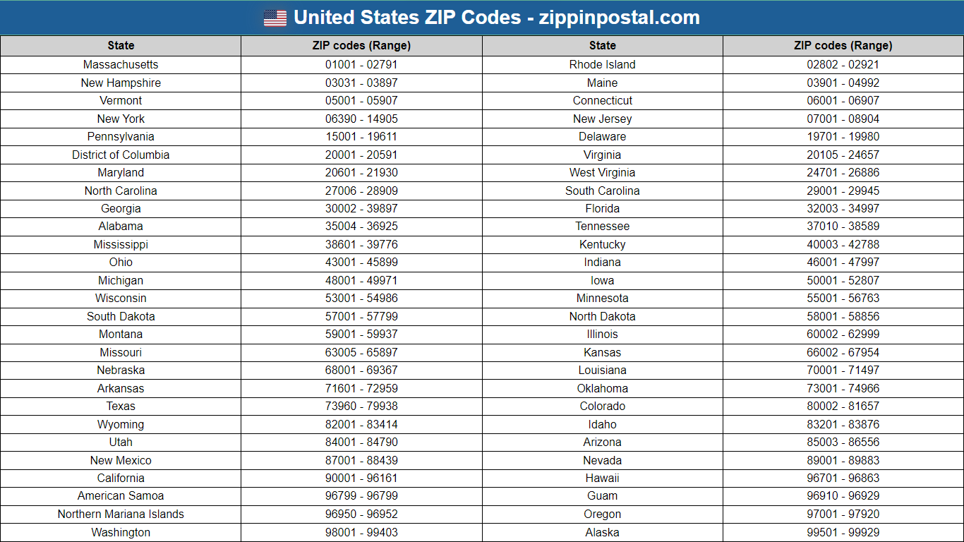
List of all States and ZIP codes in United States
Discover United States ZIP Codes across States and Cities and Instantly retrieve ZIP codes using interactive Postal code lookup Map, with Format and History information.
Global postal codes
Advertisement